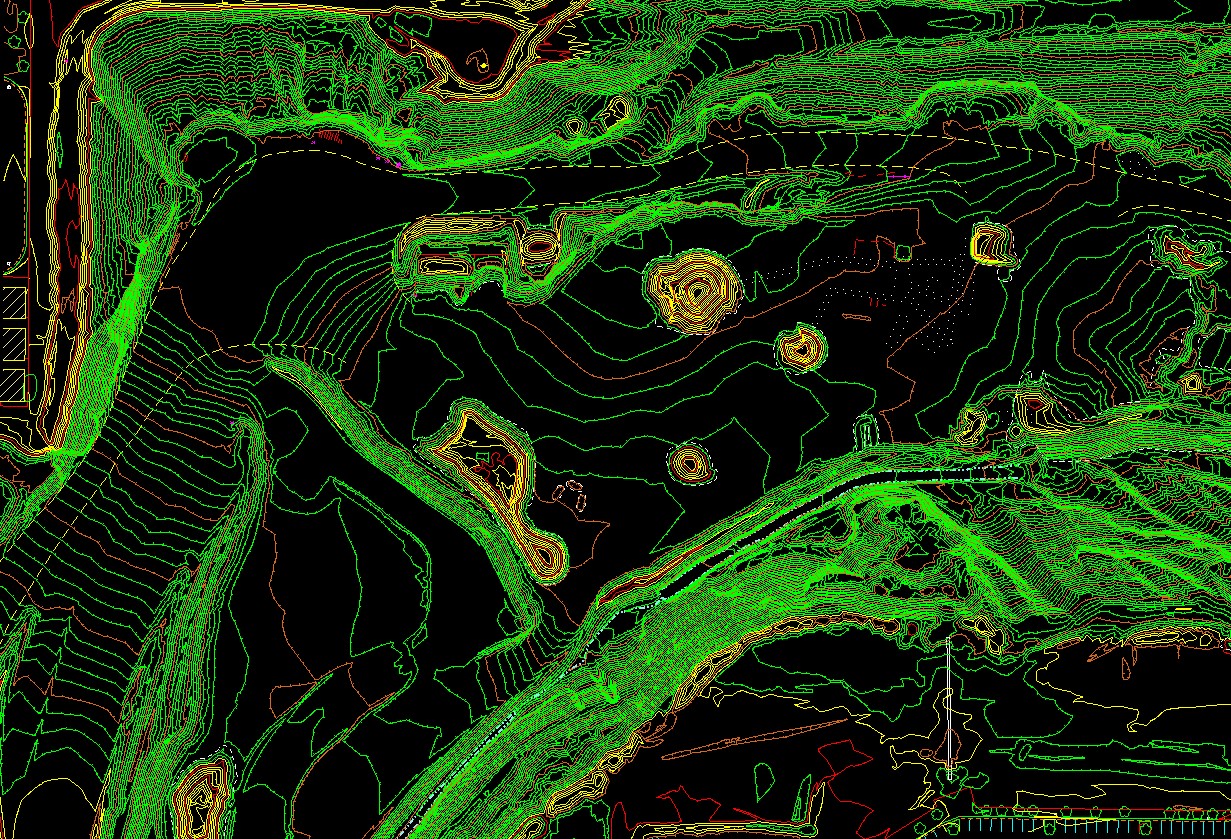
Aerial Mapping Consultants can use either our small Unmanned Aerial Systems (sUAS) or an airplane to acquire imagery of your site. We bring this data into our softcopy collection software and create a DTM surface. From this surface we can calculate cut, fill, and stockpile volumes of your landfill or mine site.